
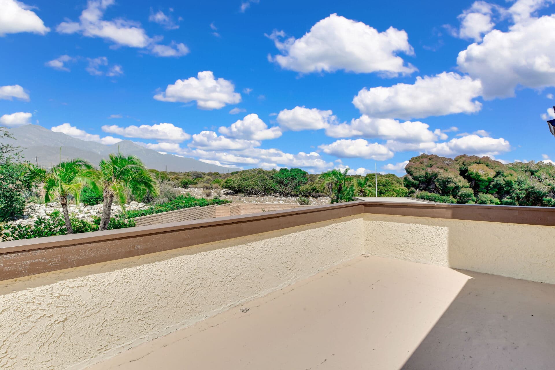
Somewhere in the first week of every Claremont escrow, a report arrives that startles buyers who have never seen one: the natural hazard disclosure, calmly informing them that their dream home may sit in or near mapped zones for wildfire, earthquake fault rupture, seismic shaking, flood, or dam inundation. The report is not a warning that something is wrong with the house — it is California doing something few states do as systematically: telling every buyer, in every transaction, what the state's own hazard maps say about the parcel. Read correctly, it is orientation rather than alarm. This article covers what the disclosure is, what each zone type actually means in practice, and how a buyer uses the report instead of merely surviving it. It deepens the escrow guide — the report lands inside the disclosure stack the opening-week guide sequences — and it is general information: the report's own statements, the current statutes, and your professionals govern.
What the disclosure is — and who prepares it
California law requires sellers of most residential property to disclose whether the property lies within statutorily designated natural hazard zones — the canonical set spans fire hazard severity zones, earthquake fault zones, seismic hazard zones, flood hazard areas, and dam inundation areas, with the current statutory list and definitions controlling. In practice, nearly every transaction satisfies this through a THIRD-PARTY NHD REPORT: a company geolocates the parcel against the official state and federal maps and produces the signed statement, typically bundled with useful extras — tax-district disclosures and other mapped conditions — for a modest fee that appears among the closing costs. Two orientation points keep the report in proportion. THE MAPS ARE THE AUTHORITY: the disclosure reports where official maps place the parcel — it is not an inspection, not a prediction, and not a statement about the individual home's construction or condition; two adjacent homes can sit in different zones because a mapped line runs between them. AND ZONES ARE COMMON, NOT DAMNING: large fractions of Southern California sit in one mapped zone or another — the report's job is to convert vague regional awareness into parcel-specific fact, which is exactly what a diligent buyer wants.
Reading the zones like a local
What each finding typically means for a Claremont buyer, concept by concept. FIRE HAZARD SEVERITY ZONES: the finding with the most practical consequence here, because foothill-adjacent Claremont is where the wildland edge runs. A fire-zone finding connects directly to two real workstreams — INSURANCE (start shopping the week escrow opens; zone status feeds the risk-scoring machinery the insurance guide explains, and the quote is the fact that matters) and DEFENSIBLE-SPACE OBLIGATIONS (state and local vegetation-management rules attach in designated zones, a maintenance reality the owner inherits with the keys). EARTHQUAKE FAULT ZONES vs. SEISMIC HAZARD ZONES: the distinction worth learning — fault zones map surface-rupture risk along identified faults, while broader seismic hazard zones map shaking-amplification and related ground effects; all of Southern California shares earthquake risk generally, so the marginal information is parcel-specific, and its practical outlets are the earthquake-insurance decision (a separate policy question the buying cluster treats on its own) and, for older homes, the retrofit conversation — foundation bolting and cripple-wall bracing on the era-appropriate stock. FLOOD AND DAM INUNDATION: flood-zone status carries a concrete consequence — mapped flood zones can trigger lender-required flood insurance, a monthly cost to price before contingencies expire — while dam inundation mapping describes engineered-failure scenarios whose practical takeaway is awareness rather than action. In every case the move is the same: convert the zone finding into its consequence — a quote, a rule, a retrofit question — rather than reacting to the word.
Using the report inside the escrow
The NHD arrives early precisely so it can inform decisions while they are still open. THE TIMELINE: disclosure delivery starts a review window inside the escrow calendar, and material findings belong inside the investigation contingency alongside the physical inspections — a buyer who lets the report age unread until after removals has spent its value. THE WORKFLOW: route each finding to its professional — the insurance broker for fire and flood quotes (the one that changes monthly budgets), the inspector or a structural specialist for retrofit questions on older stock, the lender for flood-insurance requirements — and fold the answers into the same negotiate-or-accept decision every other diligence finding feeds. THE SELLER'S SIDE is simpler: order the report early, disclose what the statute asks, and let the maps speak — hazard-zone status is a fact about geography, not a defect to argue, and the sellers who handle it best treat the report as routine paperwork delivered promptly. And a closing calibration for buyers: the disclosure exists because California decided information beats surprise — a parcel's zone status was true before the report said so; the report simply lets you price, insure, and maintain accordingly. This is general information; the report's own statements, the current statutory zone definitions, and your insurance, inspection, and lending professionals govern.
Anthony Grynchal has been licensed in California since November 2009 and has delivered the NHD conversation hundreds of times; the calm version is one sentence: the map was always true — now you know what it says, while every decision is still yours to make.
Frequently asked questions
What is a natural hazard disclosure report?
A statutorily required statement of whether a property lies within California's designated hazard zones — fire severity, earthquake fault, seismic hazard, flood, and dam inundation among them — almost always prepared by a third-party NHD company that geolocates the parcel against the official maps. It reports mapped status; it is not an inspection or a prediction about the individual home.
Should I worry if the home is in a fire hazard zone?
Convert it into its consequences instead of a feeling: get insurance quotes the week escrow opens (zone status feeds carriers' risk scoring, and the quote is the fact that matters) and understand the defensible-space maintenance obligations that attach in designated zones. Foothill-adjacent Claremont is exactly where this finding is common.
What is the difference between an earthquake fault zone and a seismic hazard zone?
Fault zones map surface-rupture risk along identified faults; seismic hazard zones map broader ground effects like shaking amplification. All of Southern California shares general earthquake risk — the parcel-specific finding's practical outlets are the separate earthquake-insurance decision and, for older homes, the bolting-and-bracing retrofit conversation.
When should I read the NHD report during escrow?
The week it arrives — its findings belong inside your investigation contingency alongside the physical inspections. Flood-zone status can trigger lender-required flood insurance, and fire-zone status changes insurance quotes; both are monthly costs to price before contingency removal, not discoveries for after.

Written by
Anthony Grynchal
Anthony Grynchal is a California real estate professional with eXp Realty, licensed since November 2009 (California DRE# 01873626), and the Designated Local Expert™ for Claremont — where he has lived for more than 33 years.
More about AnthonyPublished · Updated