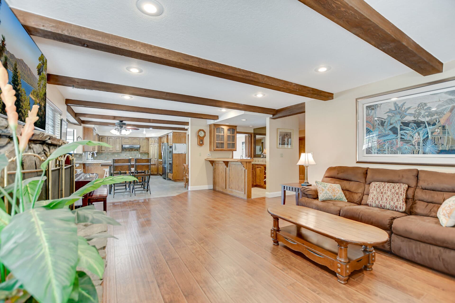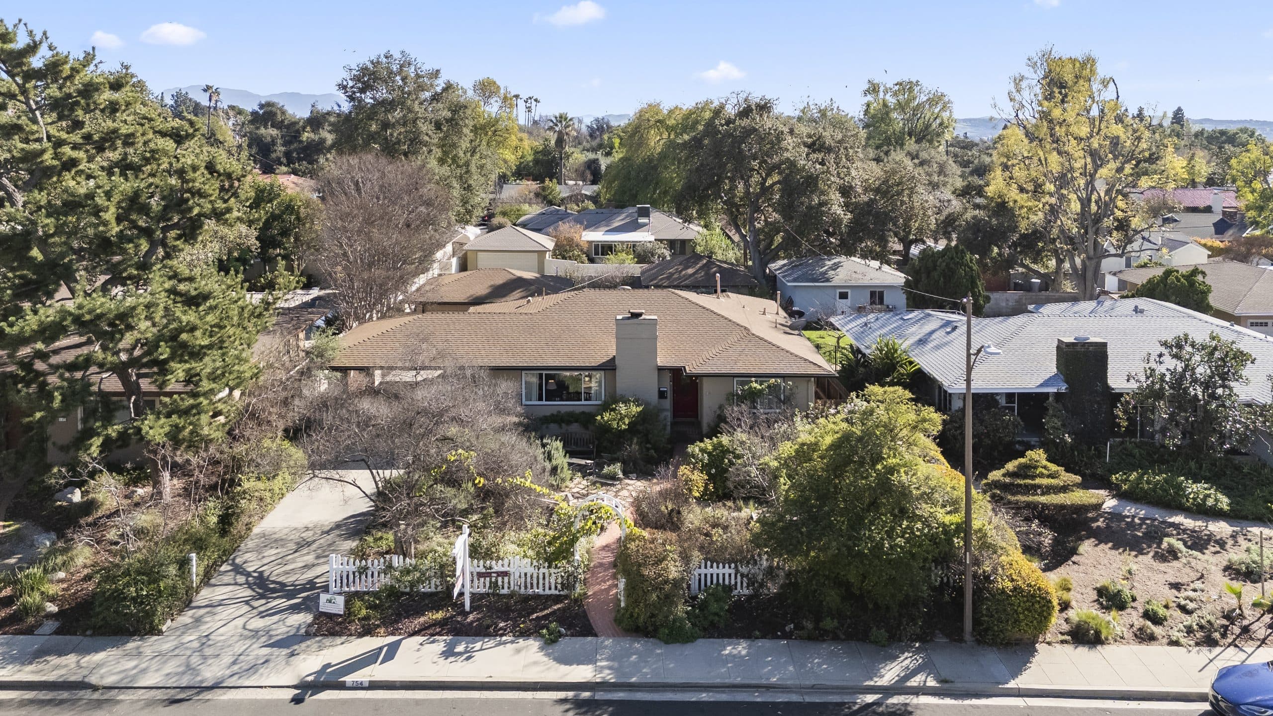
Two houses in Claremont. Similar size, similar age, bought around the same time, assessed at similar values. And their tax bills do not match, in a way that is not explained by the assessment.
The reason is usually geography. Specifically, the two properties are in different TAX RATE AREAS, which is the county's way of describing which set of taxing jurisdictions a particular piece of ground sits inside.
This article is about that concept, because once you see it, a lot of confusing bill comparisons stop being confusing.
A tax bill is not one tax
Start here, because the mental model does most of the work.
Your property tax bill is an assembly, not a single charge. Under Proposition 13, part of the California Constitution, there is a general levy of one percent applied to the assessed value, and the assessed value itself is a base year value that grows by no more than two percent per year. That general levy is the backbone.
But it is not the whole bill. Layered on top are voter-approved obligations and charges from various districts and agencies, and those come from the specific jurisdictions your parcel sits in.
The Los Angeles County Assessor and the county's tax collection offices are the authorities on what applies to a given parcel, and a CPA is the right person to talk to about the financial impact.
What a tax rate area actually is
A tax rate area is a mapped zone that shares exactly the same combination of taxing jurisdictions.
Think about how many different agencies have geographic boundaries: the city, the county, a school district, a community college district, water and sanitation entities, and various other special districts. Each has its own map. Those maps do not all line up.
Where the boundaries overlap in a particular way, you get an area with a distinct combination. Cross one of those boundaries, even mid-block, and you are in a different combination, which is a different tax rate area.
Every parcel in the county is assigned to one. It is printed on your bill.
Why Claremont has more than one
People assume that a city equals a tax jurisdiction, so all of Claremont should be one thing. That assumption is what causes the confusion.
City limits are only one of the boundaries in play. School district boundaries, in particular, are drawn independently of city lines and do not always match them. Special district boundaries follow infrastructure and history rather than municipal borders. Areas annexed at different times can carry different obligations.
Add in the practical reality that the edges of a city touch other communities, and you get properties near a boundary that are in Claremont for one purpose and in a different jurisdiction for another.
None of that is unusual or wrong. It is what happens when many independent agencies map the same ground.
Where this matters in real life
Three situations, all of which come up constantly in my work.
Comparing two homes as a buyer. If you are weighing properties and one has a different bill structure, the tax rate area may be part of the reason. It is a real difference in carrying cost, and it is worth understanding rather than dismissing.
Assuming a school assignment from a mailing address. Because district boundaries are drawn independently, an address does not automatically tell you which schools a property is assigned to. That is a question to verify directly with the district, every time, and never to infer from a tax bill or a listing.
Reading a neighbor's bill and expecting yours to match. Even on the same street, a boundary can run between you. And the far larger driver of difference is usually the assessment itself rather than the rate area, which is a separate matter entirely.
What appears on the bill because of it
The line items that vary by area are generally voter-approved obligations from the districts a parcel belongs to, plus charges levied by specific districts and agencies for particular purposes.
Those charges have their own logic, and some of them behave quite differently from the general levy, because they are not tied to assessed value in the same way. The article on direct assessments and parcel taxes covers how those items work and how to read them.
And if you are simply trying to make sense of the document in front of you, start with the guide to reading an LA County tax bill.
The practical takeaway
You cannot choose your tax rate area, and it should not drive a housing decision. It is not something to optimize.
What it is good for is UNDERSTANDING. When two bills differ and the assessments are similar, this is usually where the difference lives, and knowing that saves you from inventing a wrong explanation.
And it is a reminder to verify anything boundary-dependent, especially school assignment, at the source rather than by inference.
The disclaimer
I am a real estate salesperson, not a tax professional. This is a description of how a system is organized, not advice about your bill and not a statement about what any property will be charged.
The county assessor's office and the county tax collection offices are the authorities on what applies to a parcel. A CPA advises on what it means for you. School districts confirm attendance boundaries.
Where to go next
The property taxes hub collects the rest of the cluster, from due dates to appeals.
Anthony Grynchal has been licensed in California since November 2009.
Frequently asked questions
What is a tax rate area?
It is a mapped zone whose parcels all sit inside exactly the same combination of taxing jurisdictions. Every parcel in the county is assigned to one, and it is printed on the bill.
Why does Claremont have more than one?
Because city limits are only one of many boundaries. School, college, water and special district boundaries are drawn independently and do not always follow municipal lines.
Can I tell my school assignment from my tax bill?
No. District boundaries are drawn independently of city lines and of tax documents. Verify attendance directly with the school district every time.
Is the tax rate area the main reason bills differ?
Usually not. The larger driver of difference between two Claremont homes is normally the assessed value itself, which reflects when each owner acquired the property.

Written by
Anthony Grynchal
Anthony Grynchal is a California real estate professional with eXp Realty, licensed since November 2009 (California DRE# 01873626), and the Designated Local Expert™ for Claremont — where he has lived for more than 33 years.
More about AnthonyPublished · Updated