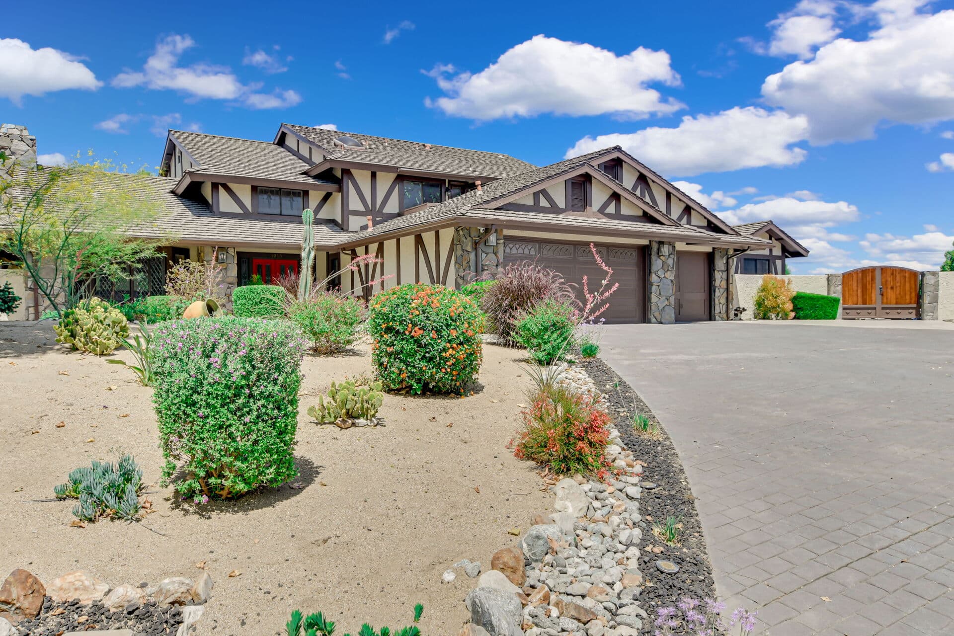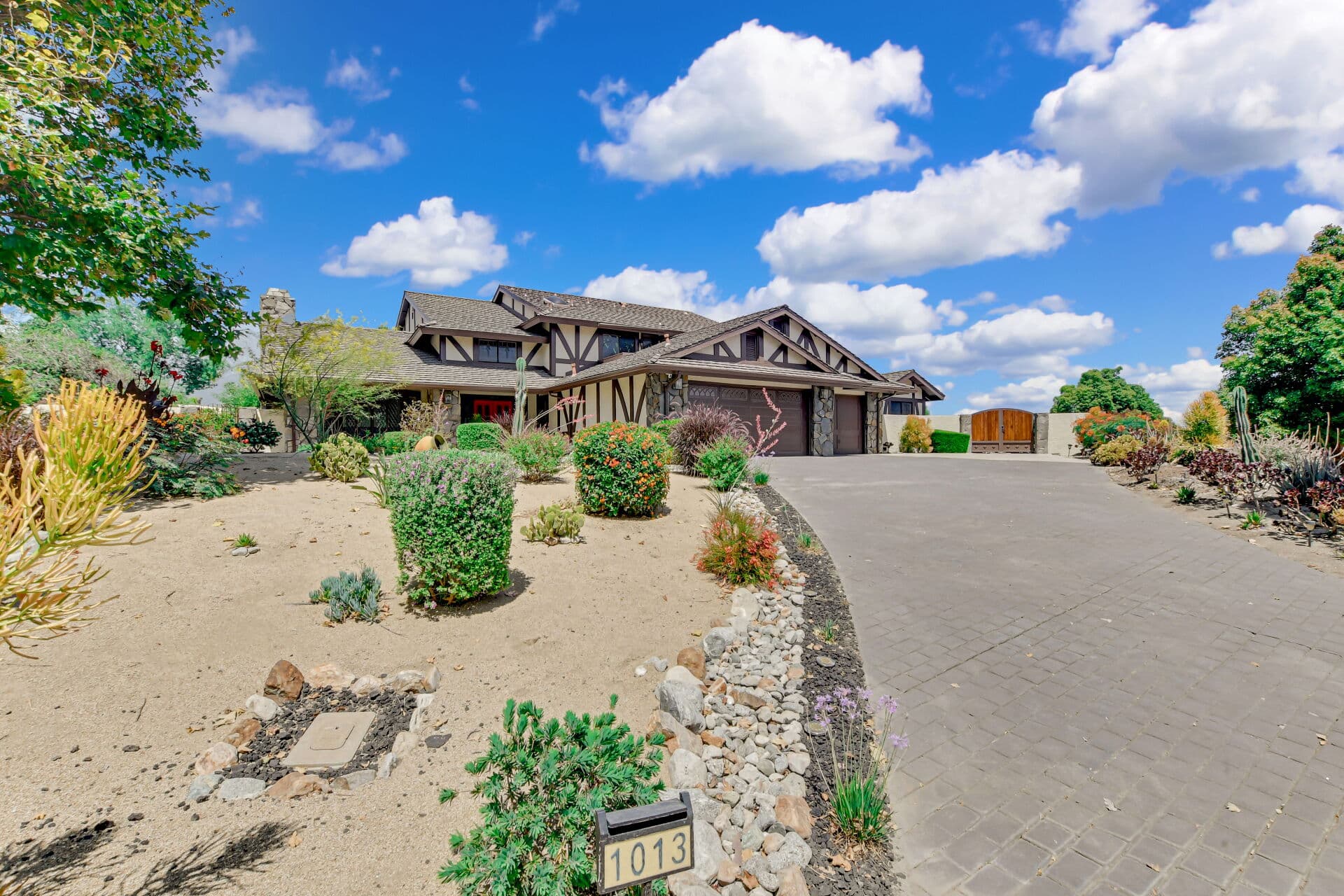
Somewhere on a quiet Claremont street there is a small commercial building mid-block, now a studio or an office or somebody's converted living room, sitting where no current rule would ever put a shop. A few blocks away, a modest apartment building stands among single-family bungalows with no others like it in sight. Neither is a mistake. Both are FOSSILS: uses that were legal when they were built and were never removed when the rules changed around them.
Learning to spot them is one of the more useful things a Claremont buyer can do, and it starts with how the zoning map got here. This chapter sits within the Claremont history guide.
Before zoning, private deeds did the work
American cities did not always regulate land use publicly. In the early decades of a town like Claremont, what a tract could and could not contain was written into the DEEDS by the developer: restrictions on setbacks, on minimum construction cost, on outbuildings, on livestock, on commercial activity, and, in that era across Southern California, on who was permitted to own or occupy the property at all.
That last category is the uncomfortable part of the record, and it is dealt with directly in the article on racial covenants and Claremont's civil rights era, because it is still visible in title paperwork today and because pretending otherwise would be dishonest history. For the purposes of the zoning story, the point is structural: private covenants were the first land use control, and public zoning arrived on top of a landscape those covenants had already shaped.
Public zoning arrived in layers, not at once
California cities began adopting comprehensive zoning ordinances in the twentieth century, and the tools evolved continuously afterward: use districts, then height and bulk rules, then parking standards, then design review, then environmental review, then a long sequence of state-level requirements that cities must accommodate.
Claremont's map, though, has a specific complication. The city did not zone one fixed territory once. It grew. Land was annexed in stages, much of it northward toward the foothills, and each addition arrived with its own existing pattern of parcels, uses, and expectations, then had a district assigned to it. A zoning map assembled that way is a record of the annexation sequence as much as a plan, which is why boundaries sometimes follow old ranch and grove lines rather than anything a planner would draw fresh. The growth sequence itself is told in how Claremont annexed its way north.
Three other forces left permanent marks.
The colleges. A substantial institutional landholding in the middle of a small city is a zoning fact of the first order. It shapes adjacent districts, traffic patterns, housing demand, and the boundary conditions of the neighborhoods around it.
The Village core. A compact commercial center built beside a railroad predates automobile-era retail entirely, which is why its parcels are small, its buildings meet the sidewalk, and its rules differ from a strip corridor.
The foothills. Land rising toward the mountains carries slope, drainage, fire, and habitat considerations that produce lower intensity districts and additional review. Hillside land is regulated differently in almost every California foothill city, and for good reason.
The fossils: legal nonconforming uses
When a city rezones, it does not usually demolish what no longer fits. Existing lawful uses generally continue as LEGAL NONCONFORMING, sometimes called grandfathered, and those are the mid-block shop and the lone apartment building.
Two things about them matter enormously to a buyer and are routinely misunderstood.
First, nonconforming status is not automatically permanent. Cities commonly impose conditions on it: limits on expansion, rules about reconstruction after damage, and provisions under which the status lapses if the use is discontinued for a defined period. The exact rules are local and are the city's to state.
Second, and more expensively, LEGAL nonconforming and merely EXISTING are not the same thing. A duplex that was permitted decades ago under a different ordinance is one situation. A second unit someone framed into a garage without a permit is another entirely, and the listing photograph looks the same. The difference is the permit file.
What to verify before you buy on an assumption
The failure mode is specific and common: a buyer prices a property on income or on flexibility that the zoning and permit record will not actually support.
Ask, in writing, for the current zoning designation of the parcel from the City of Claremont rather than from marketing material. Ask what that district permits by right and what requires a discretionary approval. Ask whether any existing use is nonconforming and, if so, under what conditions. Ask what the permit history shows for every structure and every unit on the lot. Where a project is contemplated, ask the planning counter directly, because state housing law has changed repeatedly and the interaction between state entitlement rules and local standards is genuinely technical and genuinely current. That is a question for the city and for a land use professional, not for a blog post, and this site will not guess at it.
Why the history helps
Because zoning explains what a neighborhood is FOR, and history explains why the zoning looks like that. A district boundary that follows a diagonal for no evident reason is often tracing a grove line or an old rancho division. A block of small parcels next to a block of large ones is usually two subdivisions from two decades meeting. A single commercial fossil among houses is a pre-zoning survivor still doing what it always did.
Reading that map as a document with a chronology, rather than as a set of arbitrary colors, is what turns a confusing parcel into an understandable one. For the physical layer of the same story, see why Claremont's streets are as wide as they are. Anthony Grynchal has been licensed in California since November 2009.
Frequently asked questions
What does legal nonconforming mean for a Claremont property?
It means a use or structure was lawful when established and is allowed to continue although current zoning would not permit it. Cities typically attach conditions covering expansion, rebuilding after damage, and loss of status after a period of discontinued use. Confirm the specifics with the City of Claremont.
How do I confirm a property's zoning before making an offer?
Request the parcel's current zoning designation directly from the City of Claremont, along with what the district permits by right and what needs discretionary approval. Marketing descriptions are not a substitute for the city's own answer.
Why is there a small commercial building in the middle of a residential block?
It almost certainly predates the zoning that now governs the block. Uses that were lawful when built are generally allowed to continue as legal nonconforming rather than being removed when the map changes.
Is an existing second unit the same as a permitted one?
No, and the difference can be costly. A unit created without permits carries a different legal position from one lawfully established under an earlier ordinance. The permit file held by the city is the record that settles it.

Written by
Anthony Grynchal
Anthony Grynchal is a California real estate professional with eXp Realty, licensed since November 2009 (California DRE# 01873626), and the Designated Local Expert™ for Claremont — where he has lived for more than 33 years.
More about AnthonyPublished · Updated