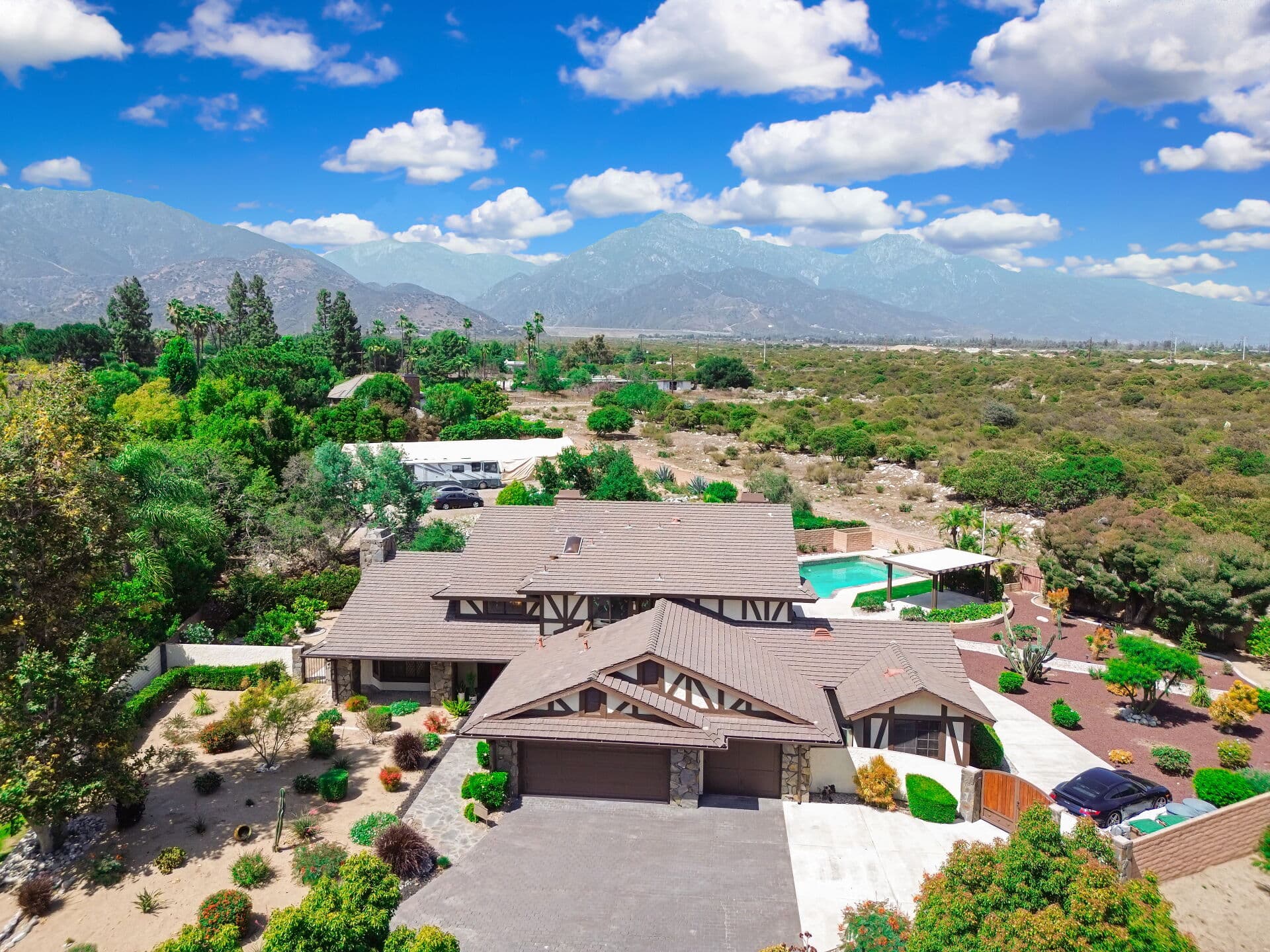
Claremont sits against the base of the San Gabriels, and that geography is most of what makes the north side of town what it is. Views, canopy, cooler evenings, and a wash system that carries water down out of the mountains when it rains.
It also means owners along that edge carry a hazard that does not fit neatly into either of the two categories people think about. It is not exactly fire, and it is not exactly flood. It is what happens to a slope after a fire, the next time it rains hard.
What changes after a burn
An intact hillside handles rain through vegetation and soil structure. Roots hold material in place, plant cover slows the impact of rain, and the ground absorbs a share of what arrives.
Fire removes the vegetation and alters the soil surface. What follows is that a slope which previously absorbed water starts shedding it, and the water carries material with it: soil, ash, rock, and burned debris moving together downhill with force.
That is a different physical event from a river overtopping its banks, and it is a different event from a fire. The elevated hazard persists for a period after a burn while vegetation re-establishes, which is why post-fire winters get particular attention from agencies along foothill communities.
Why the coverage question is awkward
Homeowners policies generally exclude earth movement and generally exclude flood, and mudflow and debris flow have a habit of landing near the seam between those two exclusions.
Whether a given event is characterized as flood, as earth movement, or as something else is a policy-language question with real consequences, and it is not one an owner should try to settle by reading a summary. It is also not one to resolve after the fact, when the characterization determines whether anything responds at all.
What is safe to say generally: standard homeowners coverage is not designed as the answer to water and material arriving from a hillside. The related surface-water and rising-water questions, and the separate coverage that addresses them, are laid out in flood zones and Claremont.
The mapping matters too. Hazard maps are drawn on models and history, and a property outside a mapped zone is not the same as a property without exposure. Position relative to a wash, a drainage, or a slope can matter more than which side of a mapped line a parcel falls on.
The boundary, once more: Anthony Grynchal is a licensed real estate salesperson, not an insurance broker or an adjuster. Nothing here is a coverage opinion, and every decision below belongs with a licensed insurance professional reading your actual policy.
The three questions to ask about your own lot
Before any insurance conversation, be able to describe the property honestly.
Where does water go when it rains hard? Not in an ordinary shower. In the kind of storm that arrives once every few years. Watch it if you can, or ask a neighbor who has lived through one.
What is uphill of you? A canyon mouth, a wash, a slope, a channel, or nothing much. Distance and elevation change relative to that feature are the practical variables.
What is the drainage condition on the parcel itself? Blocked culverts, a swale that has been filled in over the years, a retaining wall of unknown age and unknown permit history, hardscape that redirects flow toward the house rather than away from it.
Those three answers tell you more about your exposure than a map does, and they are the answers a licensed insurance professional will want.
What owners can actually do
Physical measures are the part within your control, and most are maintenance rather than construction.
Keep drainage clear, particularly ahead of a wet season. Culverts, swales, area drains, and downspout outlets all silt up quietly and nobody notices until they are needed.
Have retaining walls and any significant slope on the property looked at by a qualified professional, especially if their history is unknown. An engineer or a licensed contractor with slope experience is the right call, and the report is worth keeping.
Maintain the vegetation the property depends on, which sits in genuine tension with defensible space requirements for fire. Those two goals pull against each other and reconciling them on a specific slope is exactly the kind of question a professional should answer rather than a general article.
And know where the county and city post emergency information. Foothill communities get advance notice ahead of major storms when conditions warrant, and that notice is only useful to people who know where to look for it.
The buying dimension
If you are under contract on a property along the northern edge, this belongs in the same window as the rest of the insurance work rather than after closing. The general sequencing is in insuring a Claremont home.
Ask the questions early enough that the answers can still inform the decision. Read the natural hazard disclosure carefully rather than filing it. Ask about drainage history, and ask directly whether the property has ever taken on water or material.
A useful frame for buyers: an insurable property and an affordable property are not automatically the same property, and finding out which you have is cheaper during escrow than after.
The realistic conclusion
Living at the foothill edge is a good trade for a lot of people. The point is not to talk anyone out of it.
The point is that the post-fire debris flow hazard is real, it is distinct from both fire and flood, and it is the one owners are least likely to have asked about. Ask about it while you still have options.
For the surrounding coverage material, browse the home insurance resources. For how your specific policy would treat an event like this, and for what separate coverage may be available, that is a conversation for a licensed insurance professional, and for slope and drainage conditions, for a qualified engineer.
Anthony Grynchal has been licensed in California since November 2009.
Frequently asked questions
Is mudflow covered by homeowners insurance?
Standard homeowners coverage is generally not designed to answer water and material arriving from a hillside. Policies commonly exclude both earth movement and flood, and events of this kind can land near the seam between those exclusions. How a specific event would be characterized under your form is a question to raise with a licensed insurance professional before a storm, not after.
Why does fire increase the risk of debris flow?
Vegetation and root structure normally hold hillside material in place and slow the arrival of rain. After a burn that cover is gone and the soil surface is altered, so a slope that used to absorb water sheds it instead, carrying soil, ash, and rock along with it. The elevated hazard persists while vegetation re-establishes.
I am not in a mapped hazard zone. Am I fine?
Not necessarily. Maps are drawn on models and history, and position relative to a wash, a canyon mouth, or a slope can matter more than which side of a mapped line a parcel falls on. Describe your actual lot conditions to a licensed insurance professional rather than relying on the map alone.
What can I do physically to reduce the risk?
Keep drainage clear ahead of the wet season, including culverts, swales, area drains, and downspout outlets. Have retaining walls and any significant slope reviewed by a qualified engineer or contractor, particularly where the history is unknown, and keep the report. Reconciling slope vegetation with defensible space requirements is a question for a professional on the specific property.

Written by
Anthony Grynchal
Anthony Grynchal is a California real estate professional with eXp Realty, licensed since November 2009 (California DRE# 01873626), and the Designated Local Expert™ for Claremont — where he has lived for more than 33 years.
More about AnthonyPublished · Updated