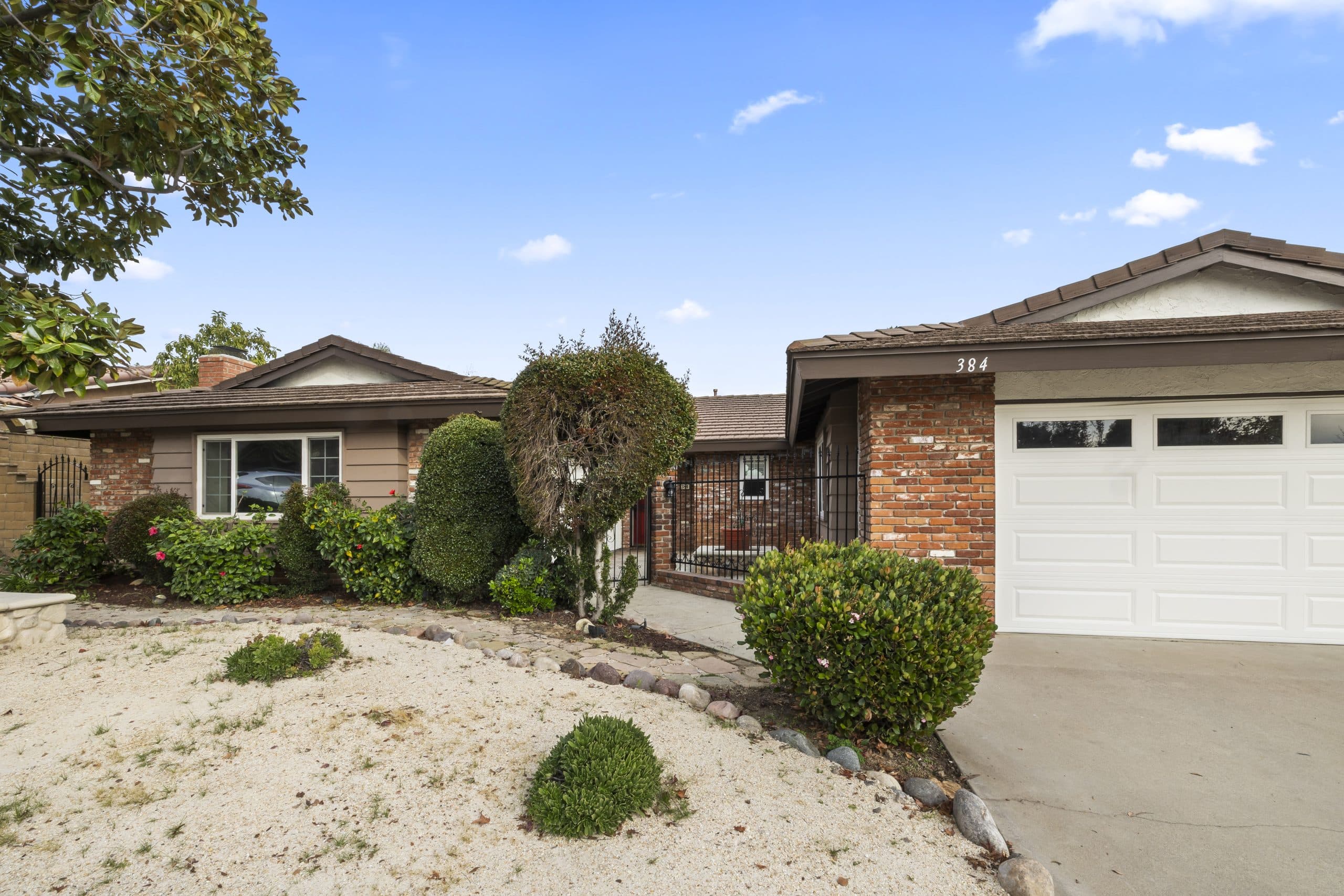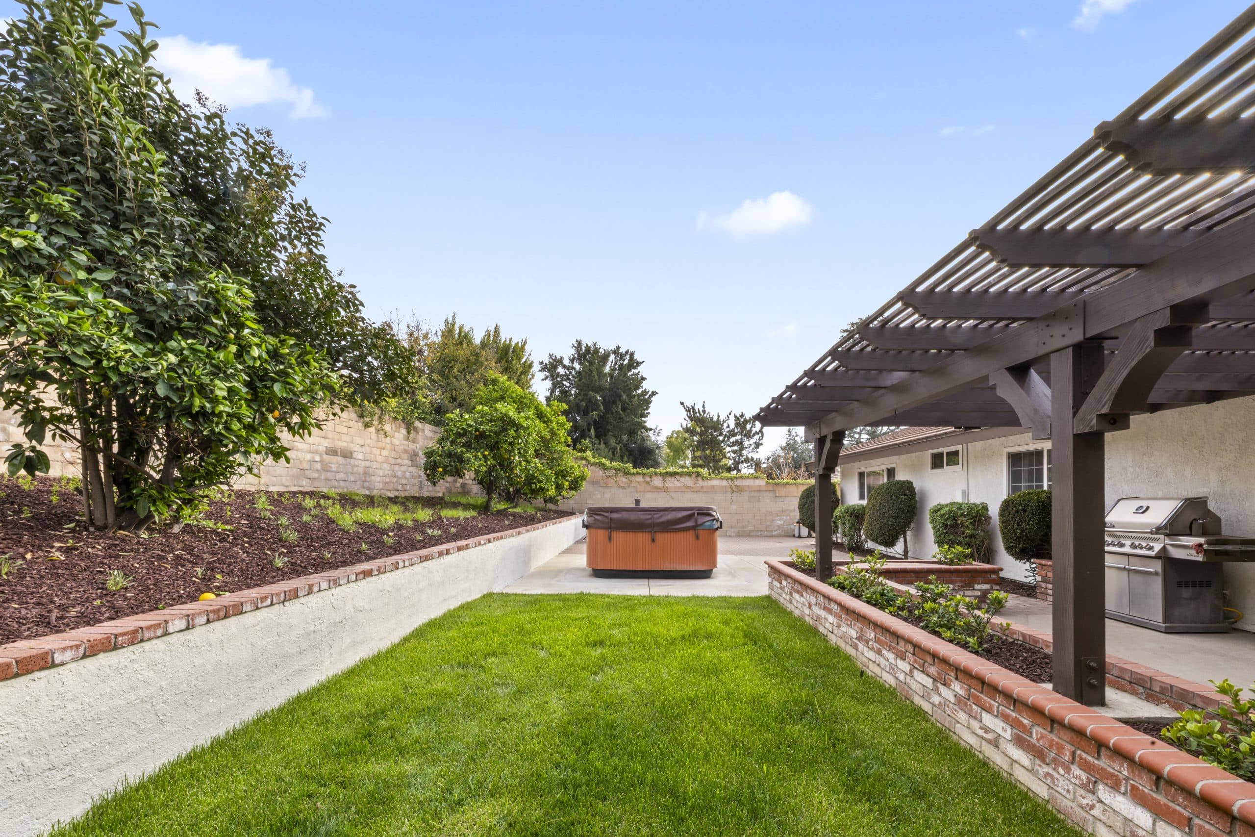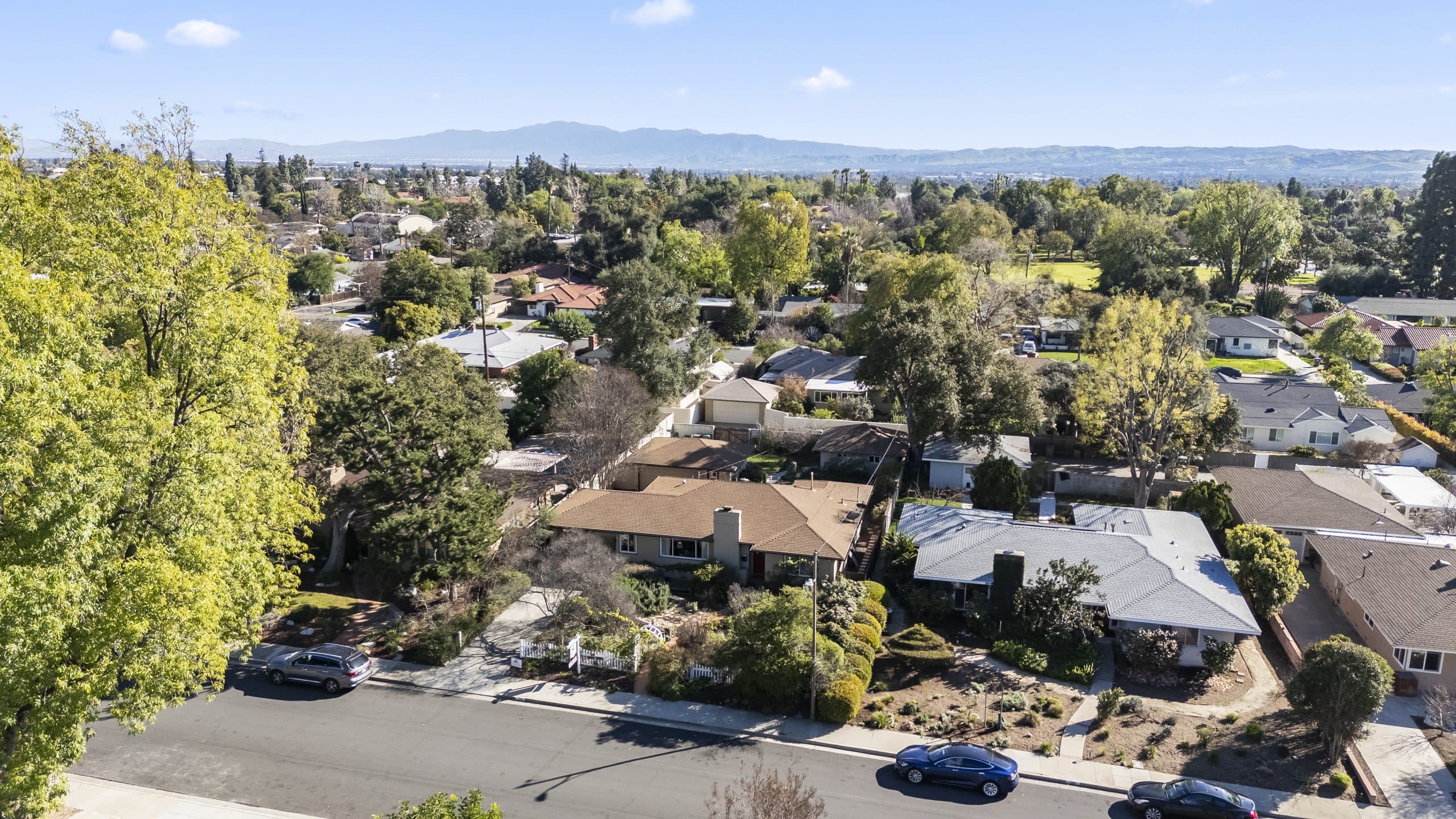
Claremont runs uphill. Move north from the flats toward the foothills and the parcels change character: slope replaces level ground, driveways get longer and steeper, lot lines follow terrain rather than a grid, and the hazard designations attached to the property change too.
All of that shows up in an appraisal, and it shows up in ways that surprise owners who expect a bigger lot with a better view to be a straightforwardly better property. This article covers what an appraiser is actually weighing on a hillside parcel and what documentation keeps the analysis grounded.
Standing frame: this is general information, not legal, insurance or lending advice. Hazard designations, building requirements and defensible space rules are set and updated by state and local authorities, so verify current requirements with the City of Claremont, the county and the state fire authority rather than relying on any summary. No outcome is predicted for any property.
Usable land is the first question
Lot size on a tax record is a gross number. An appraiser is interested in what the land can actually be used for, and slope is the variable that separates the two.
A large parcel that is mostly steep may deliver less usable outdoor living, less buildable footprint and less expansion potential than a smaller level lot. Buyers price that difference, so appraisers have to reflect it, which means a raw comparison of lot sizes between a hillside comparable and a flatland one is close to meaningless without adjustment.
What the appraiser weighs: the proportion of the site that is level or terraced, retaining structures and their condition, drainage across the slope, whether the yard is genuinely usable or ornamental, and whether the remaining land could support anything. Bigger and stranger parcels raise their own set of questions, covered in the large lots and odd parcels guide.
View is a separate line, and it is hard
Elevation buys outlook, and outlook is genuinely valued by buyers. It is also one of the hardest adjustments in residential appraisal, because views vary continuously and no two are alike. Extracting a supportable adjustment requires paired sales that differ mainly in outlook, and those pairs are scarce.
Views can also be lost or gained through no action of the owner, as neighboring trees mature or a nearby property builds. An appraiser describes the view as of the effective date. The full treatment sits in the view homes guide.
Access, and the things attached to it
Getting to the house matters more on a hillside than most owners realize. A long private driveway, a steep approach, limited turnaround, shared access or a road maintenance obligation are all real characteristics of the property.
Shared driveways and private roads carry legal structure, usually recorded easements and sometimes a maintenance agreement. An appraiser notes the arrangement, and a lender may want to see the documents. Where the paperwork is unclear, the report may proceed on an assumption about legal access, which is the mechanism described in the extraordinary assumptions guide. Producing the recorded documents removes the assumption.
Fire hazard designations and what they actually do
Foothill properties may sit within areas designated for elevated fire hazard by state or local authority. The boundaries and the terminology are set by those authorities and are revised periodically, so the current designation for a specific parcel is a matter to confirm with the city and the state fire authority, not to assume from an old disclosure.
Two things the designation does in practice. It can carry building, vegetation clearance and defensible space obligations, which are ongoing owner responsibilities rather than one-time items. And it interacts with insurance, which is where the real transaction pressure usually appears.
An appraiser is not an insurance underwriter and does not price coverage. What an appraiser does reflect is MARKETABILITY, and the practical availability and cost of insurance in an area is part of how a market behaves. If buyers in a segment are encountering difficulty, that behavior shows up in the sales the appraiser is analyzing, which is the correct route for it to enter the report rather than as an opinion about insurance.
For a buyer the sequencing lesson is blunt: start the insurance conversation at the beginning of escrow, not at the end. Coverage questions have collapsed more foothill deals than valuation questions.
Condition items the slope creates
Hillside houses generate their own maintenance list, and an appraiser notices it: retaining walls and their drainage, erosion and slope stability evidence, deck and stair structures and their supports, foundation and caisson systems, and vegetation management around the structure.
Where a geotechnical or structural report exists, supply it. Where past work was permitted, supply the permits. Documented remediation is a fact; unexplained cracking is a question, and questions become assumptions or condition findings. The file to assemble is described in the preparation guide.
Roles, stated plainly
Mr. Claremont is a licensed real estate salesperson, not a licensed appraiser. He prepares a comparative market analysis, a broker's opinion of value used for pricing and negotiation, and coordinates independent, state-licensed appraisers when a formal appraisal is required. He does not perform appraisals, does not determine hazard designations, does not assess geotechnical risk, and cannot influence an appraiser's conclusion.
What he can do is make sure the right documents exist in the file before an appraiser arrives and the right specialists are engaged early: the city for permits and zoning, the state and county fire authorities for hazard designations and clearance requirements, a licensed engineer for slope and structure questions, and an insurance broker at the start rather than the finish.
Start at the appraisal hub for the full cluster. Anthony Grynchal has been licensed in California since November 2009. Appraiser licensing, standards and complaints route to the Appraisal Foundation and the California Bureau of Real Estate Appraisers. This is general information, not legal, insurance, engineering or lending advice; verify all current requirements directly with the relevant authority.
Frequently asked questions
Does a bigger hillside lot mean a higher appraised value?
Not automatically. Appraisers weigh usable land rather than gross lot size, so a large parcel that is mostly steep may deliver less usable outdoor space, buildable footprint and expansion potential than a smaller level lot. Comparing lot sizes between hillside and flatland properties without adjustment is misleading.
How does a fire hazard designation affect an appraisal?
An appraiser is not an insurance underwriter and does not price coverage. What is reflected is marketability, meaning how buyers in that segment have actually behaved, which enters the report through the comparable sales. Designations, clearance obligations and their boundaries are set by state and local authorities and should be confirmed directly.
What documents help on a hillside property?
Recorded easements and any road maintenance agreement for shared or private access, permits for retaining walls, decks, stairs and foundation work, and any geotechnical or structural reports. Producing them removes the need for assumptions about legal access or unexplained conditions, and assumptions are what weaken a report.
Can Mr. Claremont assess slope or fire risk?
No. Anthony Grynchal is a licensed real estate salesperson, not a licensed appraiser, engineer or insurance professional. He prepares a comparative market analysis for pricing and coordinates independent, state-licensed appraisers and the appropriate specialists. Hazard and engineering questions route to the relevant authority or licensed expert.

Written by
Anthony Grynchal
Anthony Grynchal is a California real estate professional with eXp Realty, licensed since November 2009 (California DRE# 01873626), and the Designated Local Expert™ for Claremont — where he has lived for more than 33 years.
More about AnthonyPublished · Updated