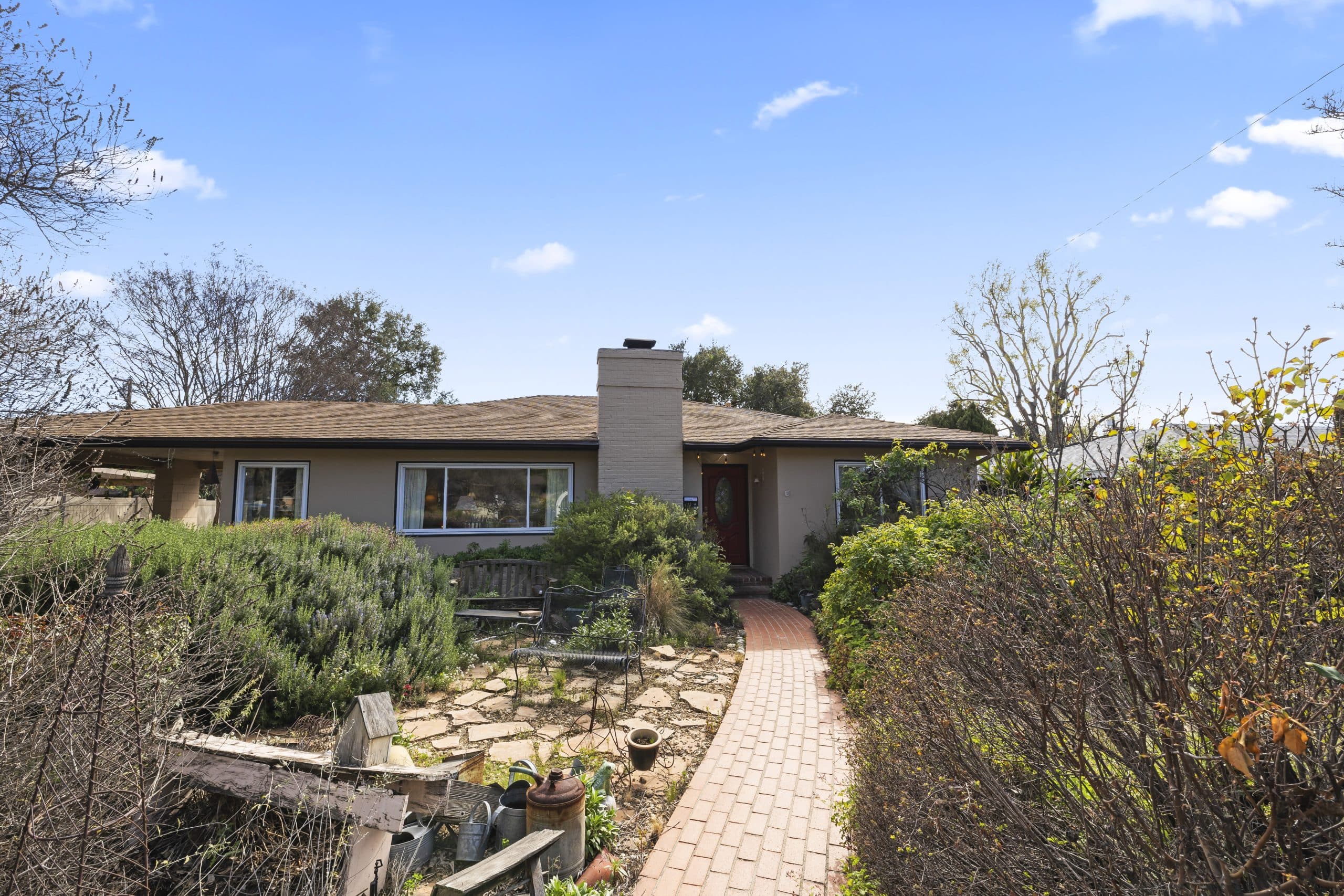
A Claremont owner calls about coverage, gives an address, and within moments hears that the property scores in a range the carrier does not write. No one has visited. No one has looked at the new roof or the cleared slope. A model produced a number, and the number is doing the deciding.
That experience is common enough now that it deserves explaining rather than resenting. This article extends the insurance guide. It is written by a real estate professional, not an insurance broker, a modeler or an adjuster. What any particular score is, what any carrier does with it, and whether a property is insurable are questions for a licensed insurance broker and for the carrier; consumer questions about how scores are used can be raised with the California Department of Insurance. How models are used and what recourse exists is an area under active regulatory attention, so verify the current position rather than relying on a written description.
What a score is
A wildfire risk score is the output of a model that estimates the likelihood and severity of a wildfire event affecting a specific location. It is produced by third-party analytics firms, not by the carrier and not by the fire department, and different vendors produce different scores for the same address because they weight different things.
It is worth being clear about what it is not. It is not a government hazard designation, though those exist separately and matter for other purposes. It is not a judgment about the house as a house. And it is not a fixed fact about a property; it is one company's model output, on one date, from a particular set of inputs.
What feeds it
Broadly, models reason about the landscape and the location rather than about the building.
FUELS. What is growing around the property and how much of it there is, usually read from remote sensing rather than from a site visit.
TERRAIN. Slope and aspect, because fire moves differently uphill and canyons behave differently from flats.
WEATHER PATTERNS. Historical wind behavior in particular, which in this region is the variable that turns a manageable event into an unmanageable one.
PROXIMITY TO WILDLAND. How far the structure sits from continuous undeveloped vegetation, and what lies between.
SUPPRESSION AND ACCESS. Road access, water availability and response considerations.
HISTORY. Prior fire activity in the surrounding area.
Notice what is largely absent from that list: the specific house. Ember-resistant vents, a new roof assembly and a cleared perimeter may be visible to an underwriting inspection and to a carrier's own mitigation program without being visible to a landscape-scale model. That gap is exactly why documented mitigation is submitted separately, as described in the article on carrier inspections.
Why two Claremont neighbors can score differently
The city runs from a developed grid up to a foothill edge, and a model that reasons about slope, fuels and distance to wildland will draw distinctions across short distances. A property backing to open terrain and a property four streets down with development on all sides are, to the model, different situations, and no amount of arguing about the neighborhood changes that.
It also means a score is address-specific and cannot be generalized from a friend's experience, a listing description or a general impression of what a part of town is like. The only usable answer for a particular address comes from a licensed broker running that address.
What to do when a score looks wrong
Not much can be done about the model. Something can usually be done about the INPUTS and about what sits alongside the score in the file.
ASK WHAT WAS USED. Which vendor, what the score was, and whether the carrier's decision rested on the score alone. A licensed broker can often say, and the answer determines whether anything else is worth attempting.
CHECK THE FACTS ABOUT THE PROPERTY. Models and carrier files carry property characteristics, and characteristics are sometimes wrong. Square footage, construction type, roof material and year built are all correctable, and they belong to a different part of the evaluation than the landscape score does.
SUBMIT MITIGATION SEPARATELY. Work the model cannot see may still count in a carrier's own mitigation evaluation. The documentation habits that make this possible are covered in the article on roof age and insurance.
SHOP WIDELY. Different carriers use different vendors and different thresholds. A decline from one is one company's answer, not the market's, and a broker with access to multiple markets is the practical route to finding that out.
ASK ABOUT RECOURSE. Whether a score can be reviewed or disputed, and by what process, is a live regulatory question. Ask the licensed broker and the California Department of Insurance rather than assuming the answer either way.
Inside a transaction
For BUYERS this belongs in the first week of escrow. A score-driven decline is a placement problem, and placement problems take time to solve because the fix is usually breadth of shopping rather than a single phone call. Discovering it late converts a solvable situation into a closing crisis; the sequence that avoids that is in the article on binding coverage in escrow.
For SELLERS, a property in a scored area is not unsellable, but it is a property where the buyer's insurance conversation should start early and where documented mitigation genuinely helps. A seller who knows what their own carrier situation is enters the process with information instead of surprise.
The takeaway
The score is a model output, not a verdict about a house, and it is only one input among several. Ask what was used, correct the property facts that are wrong, submit mitigation the model cannot see, shop across carriers rather than accepting one answer, and start all of it the week escrow opens. Then take every specific about eligibility, scores and recourse to a licensed insurance broker, to the carrier in writing, and to the California Department of Insurance.
What to do when the answer from the open market runs out is set out in the article on the FAIR Plan. Anthony Grynchal has been licensed in California since November 2009.
Frequently asked questions
What is a wildfire risk score?
It is the output of a third-party model estimating the likelihood and severity of a wildfire event affecting a specific location. It is produced by analytics vendors rather than by the carrier or the fire department, and different vendors can score the same address differently.
Does a risk score consider the work I did on my house?
Generally these models reason about landscape factors such as fuels, terrain, wind patterns and distance to wildland rather than about the specific structure. Documented mitigation is usually submitted separately to the carrier, so ask a licensed broker how to present it.
Why does my neighbor pay differently than I do?
Scores are address-specific and models draw distinctions across short distances based on slope, fuels and proximity to open terrain. Carriers also use different vendors and thresholds. Only a licensed broker running your actual address can speak to your situation.
Can a wildfire risk score be disputed?
Whether a score can be reviewed, and by what process, is an area under active regulatory attention and varies by vendor and carrier. Ask your licensed insurance broker and the California Department of Insurance for the current position rather than assuming.
One carrier declined my Claremont home. Is that the whole market?
No. A decline is one company's answer under one set of guidelines. Different carriers use different models and thresholds, which is why shopping across markets through a broker is the practical response rather than concluding a property is uninsurable.

Written by
Anthony Grynchal
Anthony Grynchal is a California real estate professional with eXp Realty, licensed since November 2009 (California DRE# 01873626), and the Designated Local Expert™ for Claremont — where he has lived for more than 33 years.
More about AnthonyPublished · Updated