
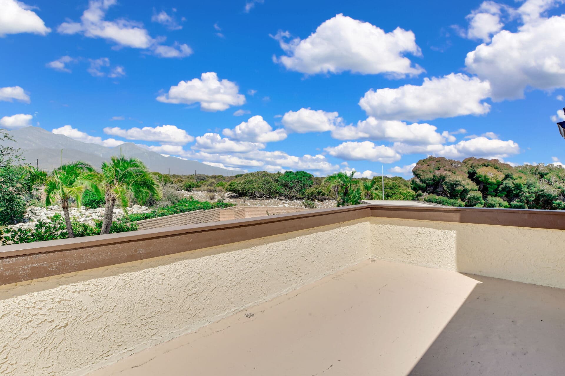
Ask anyone in this valley to name a hike and there is a good chance you get the Claremont Loop. The fire-road circuit inside the Claremont Hills Wilderness Park has become one of the region's default outdoor rituals — a real climb with real views, close enough to town that residents do it before work and visitors drive in for it on weekends. That popularity is also the park's central management problem, which is why the practical details around access change far more often than the trail itself does. This guide covers what the loop actually is, how to handle parking and hours, and how to time it well — plus the part that belongs on a real-estate site, which is what living near it is worth. It deepens the parks guide; the park containing it has its own guide, and the flat everyday alternative is Thompson Creek Trail.
What the loop actually is
A circuit on wide fire roads through preserved chaparral above the town's northern edge — not technical, and not a stroll. Expect sustained climbing on exposed dirt road, a rolling ridge section with the valley opening below and the San Gabriels standing behind, and a descent that is easier on the lungs and harder on the knees. There is a shorter option and a longer one, and locals talk about them as two different hikes rather than two versions of one; which you take is a decision made at a junction, and the signage on the ground is the authority. From the high ground the reward is the reason people keep coming back: the valley laid out below, the ridgelines running east and west, and on a clear winter day a view that carries well past the county line. Other trails exist inside the park beyond the main circuit, and what is open and where it goes is worth reading off the current maps posted at the trailheads rather than off anyone's memory. The surface is generally good, the route is obvious, and the exposure is total. There is essentially no shade, which is the single most important fact about the loop and the reason nearly every piece of local advice reduces to timing. Wildlife is real as well: this is rattlesnake country in the warm months and mountain-lion habitat at the margins, which calls for ordinary attention rather than anxiety — stay on the road, watch where you put hands and feet, and keep children close and dogs under whatever the current rules require.
Parking, hours, and the rules that move
This is the section to verify before you drive, every time. The city has managed access to the wilderness park in evolving ways over the years: designated trailhead parking, permit and fee arrangements for parking, posted opening and closing hours, and rules about what is allowed on the trails. Every one of those has changed at least once and can change again. CHECK THE CITY'S CURRENT PARK RULES AND HOURS before you go, particularly if you plan a pre-dawn start to beat the heat, since hikers regularly arrive before the park is open. Two further notes have held regardless of the details. Street parking near the trailheads is regulated out of deference to the adjacent neighborhoods, so read the posted signs rather than assuming. And weekend mid-morning is the busiest window by a wide margin, which makes weekday mornings the connoisseur's answer. Assume the park offers little in the way of facilities, too: plan for no water on the route, sun protection you carry in with you, and cell coverage you should not count on. None of that is a complaint. A town that preserved its own mountainside and then let everyone use it has earned a little administration, and the alternative — a developed hillside — is exactly the outcome the wilderness park guide explains Claremont deliberately avoided.
Timing it, and the housing angle
TIMING is the whole craft. Early morning through the warm half of the year is the only comfortable option, and it happens to be the most beautiful — the valley under haze, the light coming up the slope. Winter and spring flip the calculus completely: clear air, green hills, long views on the right day, and a midday that is genuinely pleasant. After rain, expect mud and expect runoff to have rearranged things. Carry more water than feels necessary, wear a hat, and treat summer afternoons as off the table; the seasonal cluster runs the same arithmetic town-wide. FIRE SEASON is the other calendar item worth internalizing: red-flag conditions, smoke days, and closures are part of living beside a wildland boundary, and the park's status can change with the weather rather than with a schedule. Now the housing angle, because it is a genuine one.Proximity to the trailheads is part of what the northern neighborhoods sell, and buyers pay for it. A household that will truly hike several mornings a week is buying an amenity it uses daily, which is a far better reason to pay a location premium than a view alone. Ask honestly how your household would use it, because the loop rewards a routine rather than an occasional visit, and the residents who value the location most are the ones who have folded it into an ordinary weekday. Weigh the other side honestly: the same foothill setting brings weekend traffic on nearby streets, a different insurance conversation because of fire-zone mapping — the fire-zone guide covers what that means for coverage and timing — and a slope-and-drainage maintenance profile that flatland Claremont simply does not have. Go up first, then decide. The neighborhood guides are where that geography gets specific.
Anthony Grynchal has been licensed in California since November 2009, and considers the loop the most honest showing in town — it tells a buyer in one morning whether they want this side of Claremont. This is general information; hours, permits, and trail conditions belong to the city's current publications.
Frequently asked questions
What is the Claremont Loop?
The fire-road circuit inside the Claremont Hills Wilderness Park above the town's northern edge: a sustained climb on wide dirt road, a rolling ridge with the valley below and the San Gabriels behind, and a descent back toward the trailheads. There is a shorter option and a longer one, decided at a junction on the ground.
Do I need a permit or pay to park at the trailhead?
Access has been managed in evolving ways — designated trailhead parking, permit and fee arrangements, and posted hours that close the park overnight. All of it has changed before and can change again, so check the city's current park rules before you drive, especially for an early start, and read the posted signs on neighboring streets.
When is the best time to hike the loop?
Early morning through the warm months, because the route has essentially no shade and summer afternoons are genuinely unwise. Winter and spring flip it: clear air, green hills, long views, and a comfortable midday. After rain, expect mud and rearranged runoff. Carry more water than feels necessary and wear a hat.
Is living near the trailheads worth the premium?
If you will genuinely hike several mornings a week, you are buying an amenity you use daily, which beats paying for a view alone. Weigh the other side: weekend traffic on nearby streets, a different insurance conversation driven by fire-zone mapping, and a slope and drainage maintenance profile that flatland Claremont does not carry.

Written by
Anthony Grynchal
Anthony Grynchal is a California real estate professional with eXp Realty, licensed since November 2009 (California DRE# 01873626), and the Designated Local Expert™ for Claremont — where he has lived for more than 33 years.
More about AnthonyPublished · Updated