
The wilderness park gets the fame; Thompson Creek Trail gets the DAILY USE. The paved multi-use path running along the town's northern edge — following the creek's flood-control channel with the foothills rising immediately beside it — is Claremont's everyday outdoors: the stroller loop, the morning run, the after-dinner walk, the kid's first bike ride. Ask residents which outdoor asset they would miss most and the honest answer is often this ordinary, extraordinary path. This guide covers what the trail is, who it serves, and why the flat path may matter more to daily life than the famous climb above it. It deepens the parks guide; the wilderness park it underlines has its own guide.
What the trail is
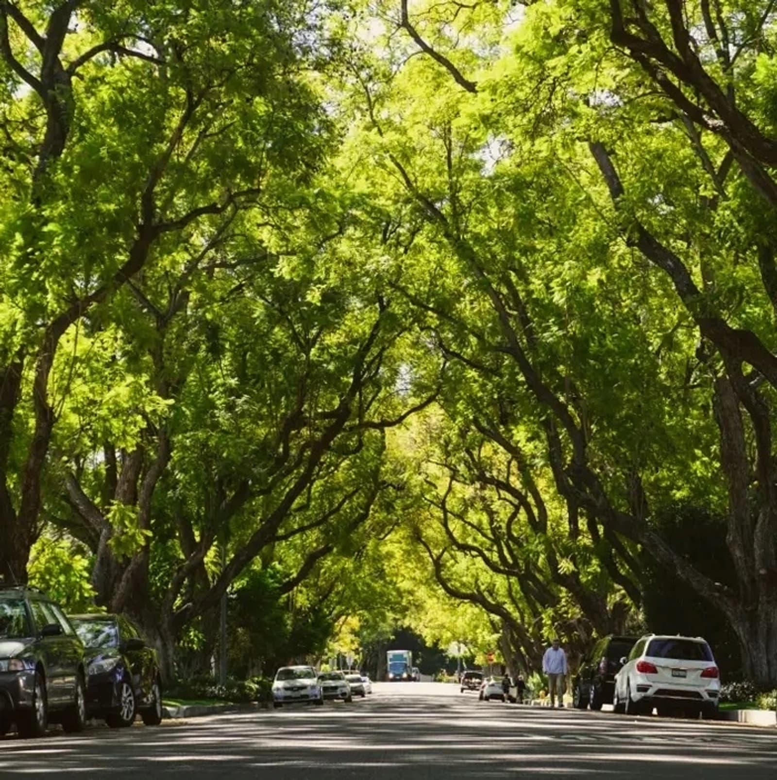
Thompson Creek Trail is a paved, essentially flat multi-use path tracing the creek channel along north Claremont — a linear park rather than a destination park, with the foothill views as its constant companion and neighborhood access points along its length. The design brief is inclusivity itself: paved and gentle enough for strollers, wheelchairs, training wheels, and unhurried walkers, yet long and connected enough for real runs and rides. Where the wilderness park demands water bottles and dawn starts, the creek trail asks nothing — which is precisely its genius. The setting adds the Claremont signature: mature trees along stretches, the mountains close enough to feel, and the passing parade of the town itself, because everyone uses it: retirees at first light, runners before work, school-age cyclists, dog walkers at dusk. The trail is one of the town's genuine commons — the repeat-encounter machinery operating outdoors.
Using it well: the local's notes
The trail's practical wisdom is short and worth having. TIMING: mornings and evenings are its social hours and its comfortable ones — the path is exposed along stretches, and inland summer afternoons apply (the seasonal guide's arithmetic, at walking pace). ETIQUETTE: it is a genuinely shared path — walkers left-holding, runners announcing, cyclists at neighborly speeds, dogs leashed — and the culture is friendly precisely because the mix is total, from toddlers to racers. CONNECTIONS: the trail links neighborhood access points along the north side and connects toward the wilderness-park trailheads — many residents' hikes BEGIN with a creek-trail warm-up — and its ends touch the broader regional path network; the specific connection points are exactly the on-the-ground detail worth scouting once rather than reading about. CONDITIONS: as flood-control infrastructure, the channel occasionally runs real water in storm season, and trail conditions follow weather — the ordinary common sense the setting suggests.
The trail and the map: what it does for the north side
For households weighing Claremont's neighborhoods, the creek trail is a quietly decisive amenity. Proximity to it converts 'we should exercise more' into a daily default — the behavioral difference between an amenity you drive to and one at the end of the street — and families price that convenience whether or not they name it: the trail-adjacent blocks of north Claremont carry their setting as real value, the same way garden-adjacent and Village-adjacent addresses do. The trail also does subtle work for the whole town: it strings the northern neighborhoods together laterally (a car-free east-west spine in a car-shaped region), it gives the foothill edge a public face, and it demonstrates the town's habit — visible everywhere from the canopy to the wilderness purchase — of building permanent public goods and letting the private map arrange itself around them. That habit, compounding, is a fair summary of why Claremont costs what it costs.
The honest comparison
Wilderness park or creek trail? The local answer is that the question is wrong: they are the town's pair — the CLIMB and the CONSTITUTIONAL, the weekend effort and the daily habit — and the households that thrive here use both on their natural schedules. But if a relocating buyer forced the choice, many longtime residents would quietly pick the flat one: fitness compounds through frequency, and nothing in town gets used more days per year than the beloved ordinary path along the creek. This is general information; current trail conditions and connection details belong to the city's resources and your own first walk.
Anthony Grynchal has been licensed in California since November 2009, and the creek trail is where he sends every new-to-town household their first week — because the fastest way to feel like a local is to join the morning parade.
Frequently asked questions
What is Thompson Creek Trail?
Claremont's paved, essentially flat multi-use path along the creek channel at the town's northern edge — a linear park with foothill views, neighborhood access points along its length, and a design gentle enough for strollers and training wheels yet long enough for real runs and rides.
Is Thompson Creek Trail good for kids and strollers?
It is the town's most inclusive outdoor asset: paved, gentle, and neighborhood-connected — the classic first-bike-ride and stroller-loop path. The culture is friendly because the mix is total, from toddlers to racers; ordinary shared-path etiquette keeps it working.
Does Thompson Creek Trail connect to the wilderness park?
It connects toward the wilderness-park trailheads — many residents' hikes begin with a creek-trail warm-up — and links the north side's neighborhood access points into a car-free east-west spine, touching the broader regional path network at its ends. Scout the connection points once on the ground.
Does living near the trail affect home values?
Trail-adjacent blocks carry their setting as real value — proximity converts exercise from intention to daily default, and families price that convenience the way they price Village-adjacency. It is one of the quietly decisive amenities in the north-side neighborhood decision.

Written by
Anthony Grynchal
Anthony Grynchal is a California real estate professional with eXp Realty, licensed since November 2009 (California DRE# 01873626), and the Designated Local Expert™ for Claremont — where he has lived for more than 33 years.
More about AnthonyPublished · Updated